
The Wicklow Way: A Guide to Ireland's Garden County Walk
You can stand at the start of the Wicklow Way in Marlay Park on the southern edge of Dublin and not understand what you are getting into. The path begins politely enough — a gravel track through suburban woodland, dog walkers passing with coffee cups, the city still audible behind you. Within two hours the sound changes. The traffic fades, the trees close in, and you are walking through oak and birch forest where the light comes down in shafts and the ground underfoot is soft with years of fallen leaves. This is where the Wicklow Way earns its reputation as the most accessible long-distance trail in Ireland, and the one that surprises people most.
The Wicklow Way runs for 127 kilometres from Marlay Park in Dublin to Clonegal in County Carlow, crossing the Wicklow Mountains — the largest continuous upland area in Ireland. It is not the highest trail, nor the most remote, but it is the best introduction to Irish mountain walking for anyone who wants more than a day hike without committing to a full week on the trail. For travellers researching Hiking in Ireland: The Complete Guide to Trails, Walks & Long-Distance Treks, the Wicklow Way is the logical next step after coastal walks like The Howth Cliff Walk: A Complete Guide to Dublin's Coastal Trail — harder than the cliffs, softer than the west, and achievable in three to four days.
What Is the Wicklow Way

The Wicklow Way was the first National Waymarked Trail in Ireland, established in 1980. It follows a line through County Wicklow — the Garden County — and into Carlow, crossing terrain that ranges from gentle forest paths to exposed mountain ridges. The trail is waymarked with the standard yellow walking man, and the markers are frequent enough that navigation is rarely a problem.
The walking varies significantly. The northern section from Dublin to Roundwood is forested and undulating, passing through managed woodland and along reservoir shores. The central section crosses the Wicklow Mountains proper — open moorland, blanket bog, and rocky ridges where the wind has the freedom to move. The southern section descends into the rolling farmland of south Wicklow and Carlow, where the walking is easier and the landscape softer.
What makes the Wicklow Way distinct is its proximity to Dublin. You can be on the trail in under an hour from the city centre by bus, and yet within that hour you leave the commuter belt behind and enter a landscape that feels genuinely wild. It is the trail Dubliners walk when they want to remember that mountains exist within reach of the capital.
The Route from Marlay Park to Clonegal

The full Wicklow Way is typically walked in three to four days, though fit walkers can do it in two. The trail is divided into logical stages, each ending at a village or town with accommodation.
The first stage runs from Marlay Park to Roundwood, roughly 22 kilometres. This is the gentlest section — forest paths, minor roads, and the shore of the Vartry Reservoir. Roundwood is a small village with pubs and a handful of guesthouses. It is a good place to stop if you want to ease into the trail without a heavy first day.
The second stage from Roundwood to Laragh is where the walking becomes serious. This section crosses the Wicklow Gap, a high pass between Djouce Mountain and War Hill, and the views open up across the mountains. The path is rougher here, with sections of boardwalk across wet ground and exposed ridges where you are exposed to the wind. Laragh, at the foot of Glendalough, has more accommodation options and a supermarket.
The third stage from Laragh to Glenmalure is shorter at roughly 16 kilometres but includes the climb over Mullacor and the descent into the Glenmalure Valley — the longest glacial valley in Ireland. This is the section most walkers remember. The valley walls rise steeply on both sides, the river runs through the centre, and the sense of enclosure is complete.
The final stages take you from Glenmalure through Shillelagh and on to Clonegal in Carlow, where the trail ends at the Wicklow Way marker beside the River Derry. The southern half is quieter, with fewer walkers and a landscape that shifts from mountain to farmland.
What You'll See Along the Trail

The Wicklow Way is not a trail of famous landmarks. You will not pass dramatic sea cliffs or ancient ruins at every turn. What you will see is subtler — the kind of landscape that rewards attention rather than spectacle.
The Vartry Reservoir appears early on the first day, a man-made lake created in the 1860s to supply water to Dublin. The shoreline path is quiet, and on still mornings the water reflects the surrounding hills with a clarity that makes you stop walking.
Glendalough is the cultural highlight. The monastic settlement — founded by Saint Kevin in the sixth century — sits in a valley surrounded by forested hills. The round tower, the stone churches, and the two lakes (Upper and Lower) are all accessible as a slight detour from the trail. Most walkers spend a morning here, whether they intended to or not.
The Glenmalure Valley is the geographical heart of the walk. A glacial valley carved during the last ice age, it is now home to red deer, peregrine falcons, and the kind of silence that only exists in enclosed mountain spaces. The river that runs through it is stocked with brown trout, and if you are lucky you will see an angler casting in the evening light.
For walkers who find themselves drawn to Ireland's wilder western trails after completing the Wicklow Way, The Western Way: Walking Ireland's Quietest Long-Distance Trail offers a completely different experience — three days through the empty boglands of Galway and Mayo where the nearest road can be a full morning's walk away.
When to Walk and What to Bring

The Wicklow Way can be walked from March to November, though the most reliable weather falls between May and September. The trail is lower than many Irish mountain routes — the highest point is around 650 metres — which means it is rarely snowbound, but the exposed sections can be unpleasant in bad weather.
Spring brings wildflowers to the lower slopes and lambing to the farmland sections. The midges are not yet active, and the daylight is lengthening. Summer is the most popular season, and the trail is busy on weekends. If you want solitude, start early or walk midweek.
Autumn is the locals' favourite. The bracken turns bronze, the heather is in flower on the higher ground, and the light has a quality that makes the whole landscape look like it has been photographed through a filter. The rain is more frequent than in summer, but the trade-off is worth it for many.
Footwear depends on the season. Trail shoes with good grip are sufficient in dry conditions. Waterproof boots are better in winter or after rain, when the boardwalk sections become slippery and the bog paths hold water. A waterproof jacket is essential — the weather changes quickly on the ridges, and there is no shelter.
Where to Stay and Eat

The Wicklow Way is well served by accommodation, which is one reason it suits first-time long-distance walkers. You are rarely more than a day's walk from a bed and a hot meal.
Roundwood has a handful of guesthouses and the country's highest pub — The Roundwood Inn — which serves straightforward food and Guinness that tastes better at altitude. Laragh, at the foot of Glendalough, has more options including hotels, hostels, and campsites. It is the logistical hub of the trail.
Glenmalure has limited accommodation — a hostel and a few bed and breakfasts — but the Glenmalure Lodge is the place most walkers aim for. It sits at the head of the valley, serves substantial evening meals, and has a bar that fills with walkers swapping stories by the fire.
The southern stages pass through Shillelagh and Tinahely, small villages with pubs and basic shops. Clonegal, at the end of the trail, has a café and a pub, but most walkers arrange transport back to Dublin from here rather than staying overnight.
Why a Local Guide Changes the Wicklow Way

You can walk the Wicklow Way alone. The trail is clear, the waymarks are frequent, and the stages are short enough that navigation is rarely a concern. But a local guide changes the experience in ways that are hard to quantify.
A guide knows which sections of the trail are boggy after rain and which boardwalks to avoid in frost. They know where to find the best view of Glendalough without climbing the tourist trail, and which pub in Laragh pours the best pint. They can tell you why the Glenmalure Valley was the site of a seventeenth-century ambush, and where to look for the remains of the old copper mines that once operated in the hills.
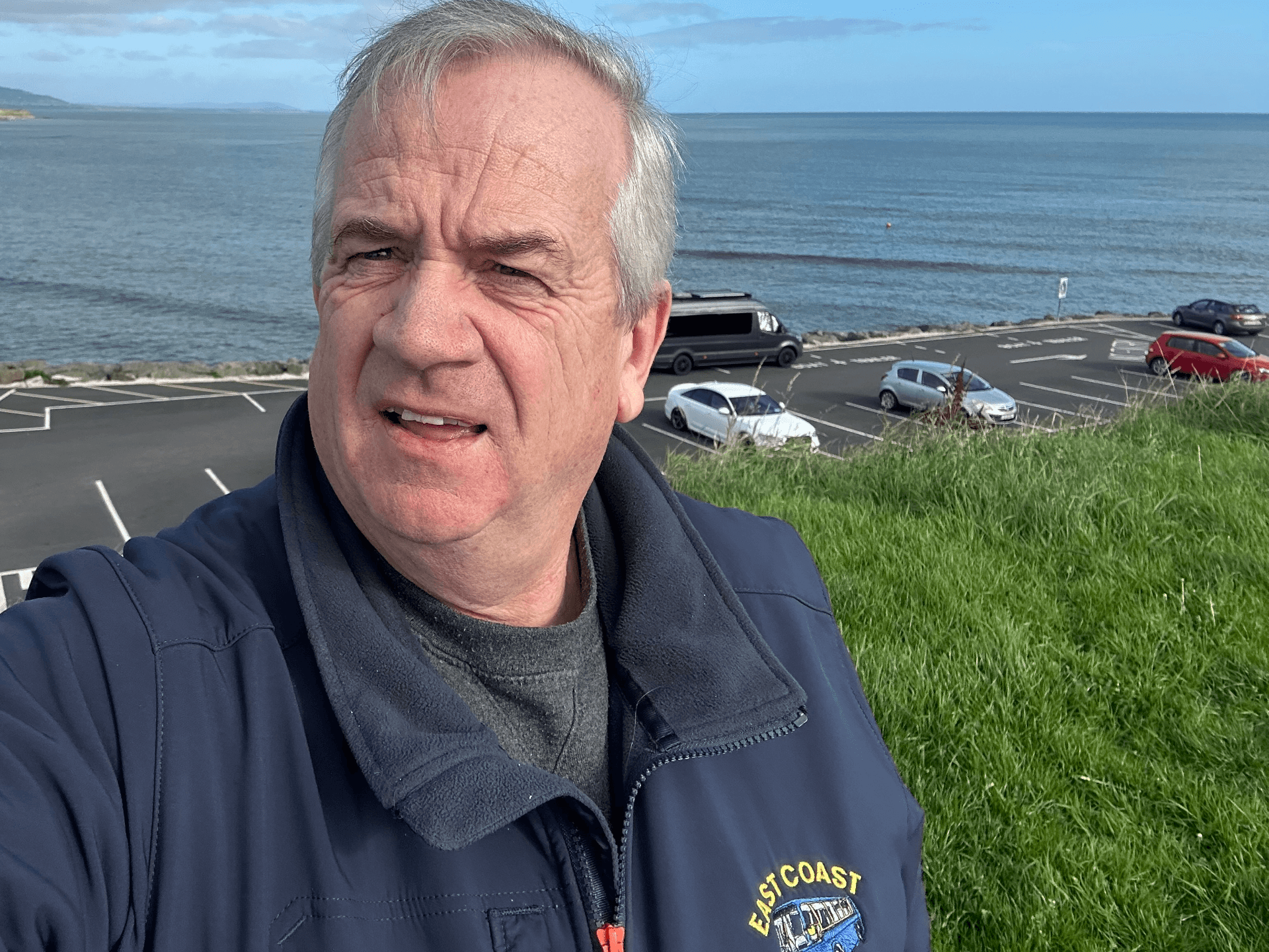
The practical help matters too. A private driver guide for Wicklow and the East Coast can meet you at the end of each stage, move your luggage, and drop you at accommodation that would be hard to reach with public transport. For walkers who want the experience of Irish mountain walking without carrying a full pack or worrying about the bus timetable, this is the practical solution.

If you are planning a walking holiday in the east, explore our full selection of guided hikes in Ireland for expert-led experiences nationwide.
Frequently Asked Questions
How long does the Wicklow Way take?
Most walkers complete the full trail in three to four days. Fit walkers can do it in two long days. The trail is 127 kilometres in total, with roughly 3,000 metres of ascent. Stage lengths range from 16 to 30 kilometres depending on where you choose to stop.
Is the Wicklow Way difficult?
The Wicklow Way is moderate in difficulty. The gradients are rarely steep, but the terrain underfoot is varied — forest paths, rocky tracks, boardwalks, and open moorland. The exposed sections on the ridges can be challenging in bad weather. Decent fitness and waterproof footwear are essential.
How do I get to the start of the Wicklow Way?
The trail begins in Marlay Park in south Dublin, which is accessible by bus from the city centre. The 16 and 16C buses stop at the park entrance. The trail ends in Clonegal, County Carlow, from where you can take a bus back to Dublin or arrange a transfer.
Can I walk the Wicklow Way in sections?
Yes, and many people do. The section from Laragh to Glenmalure makes an excellent standalone day walk. The Glendalough valley loop is a popular shorter option that takes in the monastic settlement and both lakes without committing to the full trail.
Conclusion
The Wicklow Way is the trail that proves you do not need to travel to the west coast to find serious Irish walking. It is accessible from Dublin, varied enough to hold your attention for three days, and beautiful in a way that grows on you rather than announcing itself. For anyone building their confidence on Irish trails, it is the natural progression from day walks to long-distance walking.
For a broader view of what Ireland offers on foot, Hiking in Ireland: The Complete Guide to Trails, Walks & Long-Distance Treks covers every major trail in the country. If the Wicklow Way leaves you wanting coastal drama instead of mountain solitude, The Kerry Way: Hiking the Ring of Kerry on Foot is the route that takes you to the Atlantic edge of Ireland. And if you want to walk the Wicklow Way with someone who knows every turn of the path, a local guide turns a good trail into a memorable journey.
Table of Contents
Share this post
More from the Blog

Cork to Blarney Castle Day Trip: The Stone, the Gardens and What Else to See
Plan a Cork to Blarney Castle day trip. Kiss the stone, explore the Poison Garden, and add Cork city, Fota or Kinsale for a full day out.

Cork to Cobh Day Trip: Titanic, Colourful Houses and Harbour History
Plan a Cork to Cobh day trip by train, car or private driver. Explore Titanic history, St Colman's Cathedral, Spike Island and the best harbour views.

Cork to Killarney Day Trip: Lakes, Mountains and Muckross in One Day
A Cork to Killarney day trip is a longer escape into Kerry. Here's how to plan the drive, what to see in Killarney National Park, and why a private driver helps.